
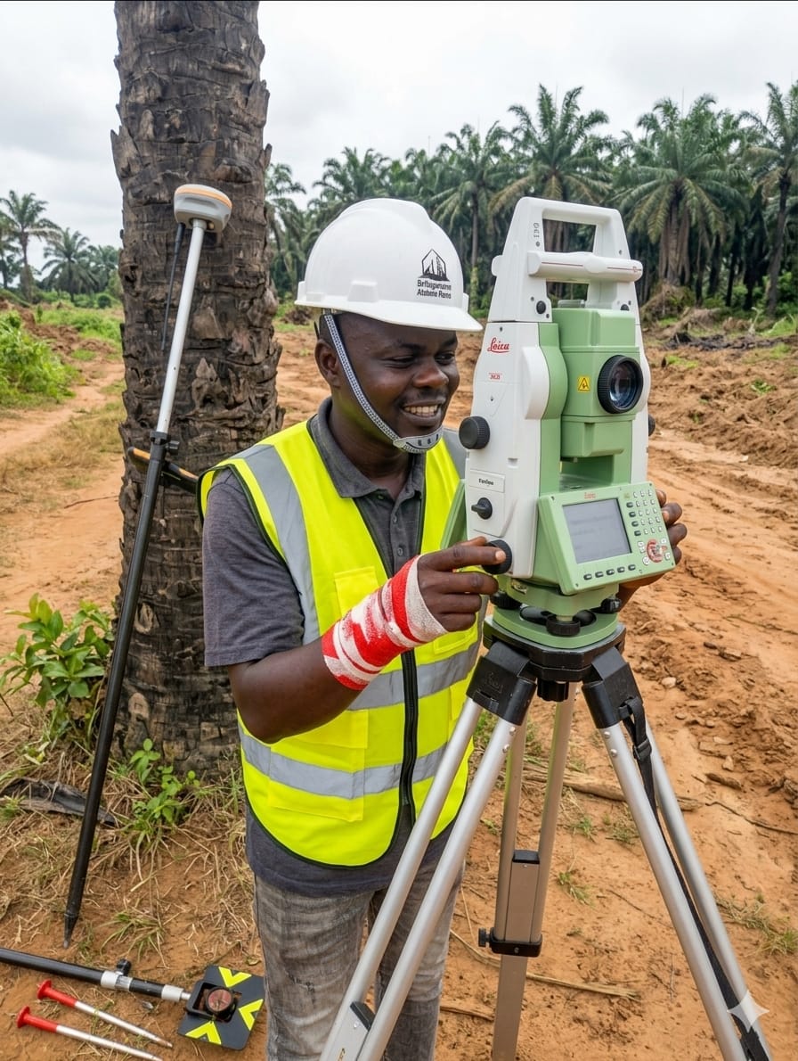
Nigeria's foremost geomatics professionals. From perimeter surveys to full-scale engineering projects — we map, measure, and master the land.

Wealthplus Geomatics Nigeria Limited is a leading surveying and land management firm with operational presence across Ado Ekiti, Ondo, and Lagos State. We combine rigorous technical expertise with a deep understanding of Nigerian land law and terrain.
Our team of licensed surveyors and consultants delivers accurate, legally compliant, and professionally executed survey services for individuals, corporations, and government agencies.
Eight specialist disciplines. One trusted partner.
Comprehensive monitoring of natural resources and expert land reclamation services for sustainable development.
Ensuring sustainable development through responsible environmental assessment and management practices.
Professional hazard control, risk assessment, and active management solutions for land and construction projects.
In-depth research and geological analysis concerning regional mineral resources and subsurface assessments.
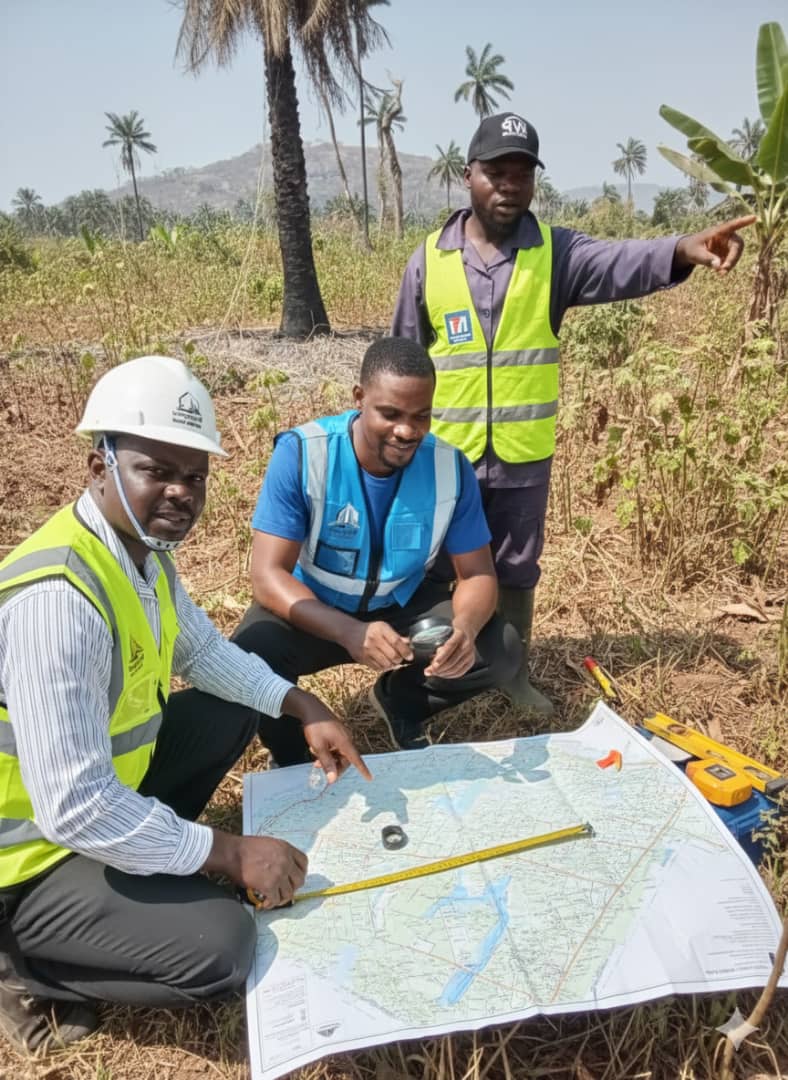

We bring together licensed expertise, modern equipment, and local knowledge to deliver survey services that hold up in court, on-site, and on paper.
Start Your ProjectOur surveyors are registered with all relevant Nigerian regulatory bodies, ensuring every deliverable is legally defensible.
We deploy GPS Total Stations, digital levelling equipment, and GIS-ready data outputs for every project.
Project timelines are sacred to us. We plan meticulously and communicate proactively throughout every engagement.
Over a decade of active surveying across Ekiti, Ondo, and Lagos gives us unmatched knowledge of local terrain and land administration.
Land and properties currently available, alongside active projects underway across our coverage areas.
For Sale
Fully surveyed and titled 100x100ft plot, ready for immediate development. Clean documentation, beacon-verified boundaries.
Ongoing Project
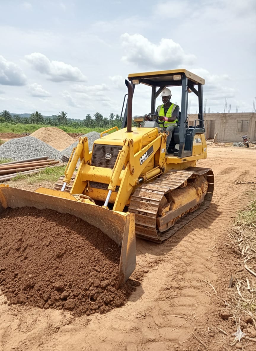
Active engineering survey and site clearing works in progress, supporting a new residential estate layout.
Ongoing Project
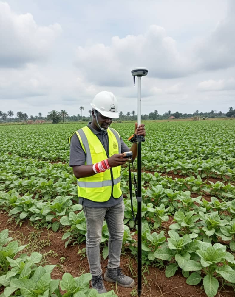
Large-scale agricultural land mapped via drone survey for boundary verification and yield planning.
For Sale
Multiple acres of farmland with verified GPS coordinates, ideal for commercial farming or estate development.
Have a property to list or want updates on new listings?
Get In TouchTell us about your land, your project, or your challenge. Our team will respond within 24 hours with a tailored assessment.